Wednesday, 13 April 2022 at 4:00 pm to Thursday, 14 April 2022 at 4:00 pm
Organiser: Nathan Cobbald
Trip difficulty: Medium/Medium Fit (Fitness Scale)
Trip length: 2 days
Gear: A mountian bike/gravel bike, bike storage saddle if you have one?, Overnight gear list
Transport: Train
The Plan:
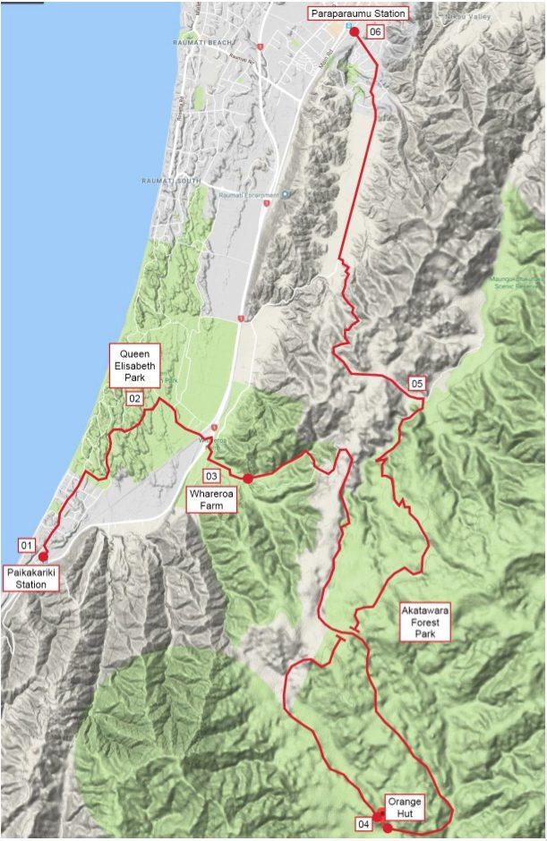
Day 1 - 23km, 900m Elevation Gain, 18km Unpaved
Day 2 - 22km, 1,240m Elevation Gain, 16km Unpaved
45km total distance covered
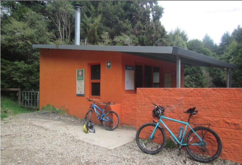
Meet at the Wellington train station at ~8:45am (Dates may be subject to change depending on mine and others availibility). Catch the 9:13am train to Paekakariki and ride into Queen Elizabeth Park to attempt to find the start of the trail that will get us on the right path and into Whareroa farm. We then follow some family friendly track for a while until it gets into some hillage taking us over into the Akatarawas. We do have to find some "hidden" track to take us south so we can actually start heading towards the hut so I'll try my best to not get us lost. then follow a river for a good 10km and back into riding up and around some hills until we reach the hut. Not sure how long this is all going to take, but I'm going to say ~5-6 hours depending on weather and the faf that occurs. No idea what the huts like, but I hear hunters use it pretty regularly and its accesible via 4x4 so it's either going to be prestine or a shithole. The hut doesn't actually exist on topo maps, but I asure you it does, it just means we have to go off of google terrain maps to get there.
Riding out the second day Should be pretty chill, but don't quote me on that. Leave about 10am after apropriate faffing and it looks like it's down hill and/or flat for the most part althoug there is apparently some knarly fire road towards the end, which I'm looking forward too. The last leg is just following a road until we reach Paraparaumu. We'll just catch whatever train is coming next at the Paraparaumu station and get a drink while we wait idk. Hopefully be back in town by ~5pm that evening.
Map/Pictures:
Trip reports from other people:
https://wtmc.org.nz/trip-report/mountain-biking-on-the-kapiti-coast/
If you have any concerns about whether you have the right gear, can't make those dates but really wanna go or anything else hmu whichever way you choose.
$10.00
Login to see Trip Emergency Contact.
This trip has already happened!