By Sean Keenan, 21 June 2026
A fun pastime of mine is finding heinous little features on Topo maps to investigate. So, you can imagine my excitement when stumbling across the slip-ridden landscape of Te Atuaoparapara located in the eastern Ruahine Range. Standing at 1687m it pokes out prominently from the valley floor inviting all who lay their eyes on the peak to wander onto its steep and dramatic slopes. This description was also attractive to Max and Finlay who like me, hoped that in June the peak would host some winter snow like we had seen in very few photos.
Despite the daunting trip reports we had read saying "it was a route I wouldn't do again" we began on a Sunday for the long drive towards North Block Road End. As the sun was setting we began our climb towards the popular Sunrise Hut where we were greeted with an empty hut. As a debut trip for me to Sunrise Hut I was in awe of this beautiful structure situated in a perfect spot to watch the sunrise from the east. This infact did not come to be as we awoke to the mother of all clag fronts washing straight over the hills reducing the visibility to a few metres. This meant we had only one solution; to put the pack covers on and power through the saturating cloud along the ridge towards Armstrong saddle.
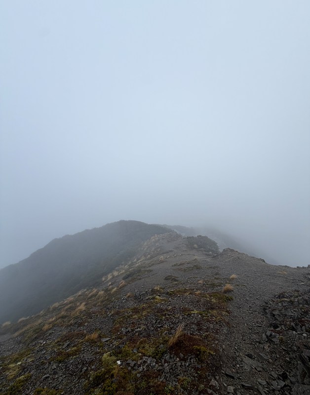
At the junction we decided in NZ tramping fashion to detour to bag Top Maropea Hut, a small little orange shack located on a narrow ridge. Here we stopped for a very cold and wet lunch consisting of the standard stick of salami and Cheds crackers. We continued towards Te Atuaoparapara which despite our GPS location we couldn't have told you where the peak was. After some discussion we decided for some reason that we might get above the clouds after climbing. This decision was almost immediately regretted as we dropped into the saddle and were quickly greeted with the most awful scrub-bashing of mounds of leatherwood. There was perhaps only a sniff of an old track to follow with maybe 6 white tape pieces across the entire 2km of bashing. Before we even reached the start of the steeper section we decided to turn around and head back realising our efforts would be wasted on the never-ending clag.
However, there was no need to fear as after a very warm sleep where the 3 of us were definitely disturbing the peace and intimacy of a couple who joined us at the Hut, we woke to a clear sky and a remarkable sunrise over the hut and the towering peak behind us.
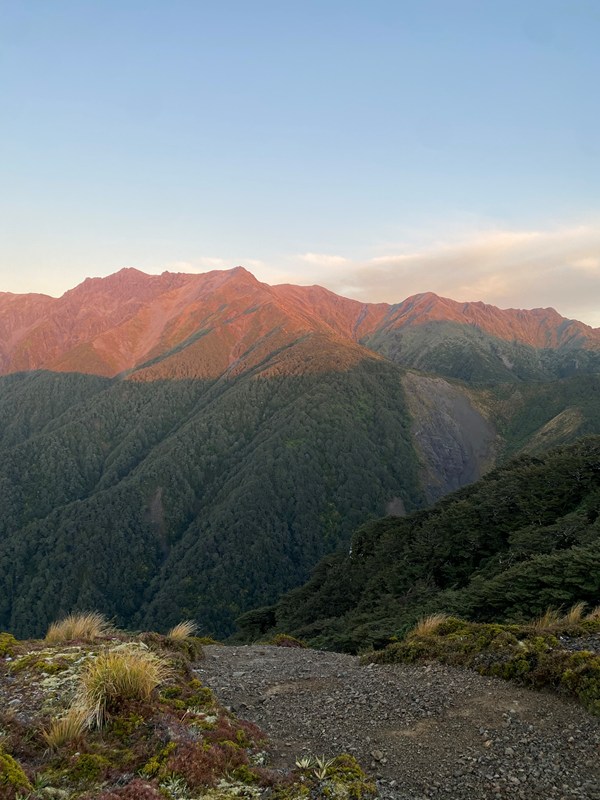
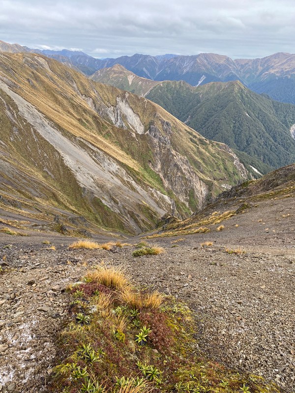
We knew today was the day and set out on the same route as the day before. With our newfound energy we hastily made it to our previous stopping point in almost half the time and could find the white tape much easier than yesterday. We escaped from the grasp of the bush into the golden alpine scrub of the slopes of Te Atuaoparapara and gazed at the climb that only kept getting steeper the closer we got. This did not deter us as the 3 of us powered up the ridge all the way to 1650m where the slopes of the ridge gently invited you off the side of the cliffs on either side. We enjoyed our time on the stunning final walk peering over the drops to see some of the biggest slips I have ever seen in my life. The surrounding Ruahines are a striking mountain range dramatically scarred by a lifetime of erosion creating some monster slips in the area. This ridge led us to the high point of Te Atuaoparapara where a trig sat marking our successful climb.
We were hasty with our stay due to the freezing wind chill and began the original plan of finding the path towards Waipawa Saddle. This infact turned into some terrifying decision making that had to be done. The original route was over the top of the ridge which at the time looked to be completely bluffed out. We opted to have a look at the behemoth of a slip directly down the summit. A reckless man may have attempted that route however, Finlay, Max and I fancied living for another day. The incline of that slope would've warranted using our self-arresting skills and wasn't worth the risk.
We instead decided we were pleased with our accomplishments and headed back the way we had come down the long ridge, through the dense bush passing the track-marking chocolate milk carton that was left by a previous tramper(that we picked up) and out via Sunrise Hut. A big last day to top off in our opinion a great trip and the rare occasion where we see something cool on Topo50 and actually make it there. I would love more than anything to come back and complete the entire traverse hopefully in snowy alpine conditions:)